

Why We Abandoned Satellite Imagery for an On-Device Procedural Sky
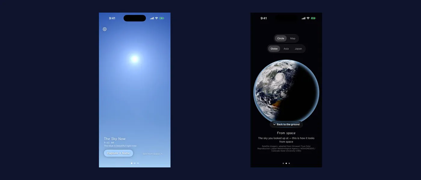
I spent the first phase of my Shipaton build getting a weather satellite pipeline to work. It worked. Then I looked at what it produced and cut it from the core of the app.
Amana is an iOS app with one job: put the sky that is outside your window onto your screen, make it good enough that you want to see the real thing, and get you out the door. The premise only survives if the sky on screen is beautiful. So the first question was where that image comes from.
The obvious answer was a satellite
Himawari, Japan's geostationary weather satellite, images the full disk every ten minutes. The data is public. My Phase 0 pipeline pulled raw bands from NOAA's AWS Open Data mirror, composited a true-colour image with satpy, cropped to a region, graded it, and cached the result. It ran. The Earth came out round...
Copyright of this story solely belongs to hackernoon.com. To see the full text click HERE