

Building Better Farm Management Zones, Part 1: H3 Hexagons Over Rectangles
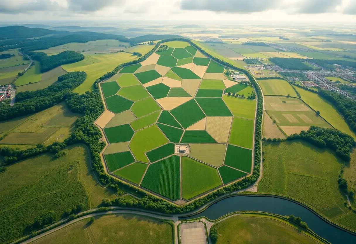
A regular but high-tech-savvy farmer has invested in sensors, GPS, and a variable-rate controller. In one of their sprawling central Iowa crop field, a combine finishes a harvest pass and writes a GPS-tagged yield value to a flash card. That data point joins tens of thousands of others, including but not limited to soil nitrogen readings, organic matter samples, and pest scout pins (all waiting to be turned into a fertilizer prescription for next season).
The data exists. The problem is what happens to it before it reaches the prescription map. Most farm management software converts those GPS points into a rectangular grid, draws zone boundaries on that grid, and calls it precision agriculture. These rectangular boundaries are arbitrary. The soil doesn't know they're there. And the statistics computed inside them shift, sometimes dramatically, depending purely on where the farmer drew the lines. They can end up prescribing different nitrogen...
Copyright of this story solely belongs to hackernoon.com. To see the full text click HERE